VUlnerabilitY TO flooding
People have a right to protection from vulnerability to chronic flooding. Below you can find data sources to help determine your level of risk.
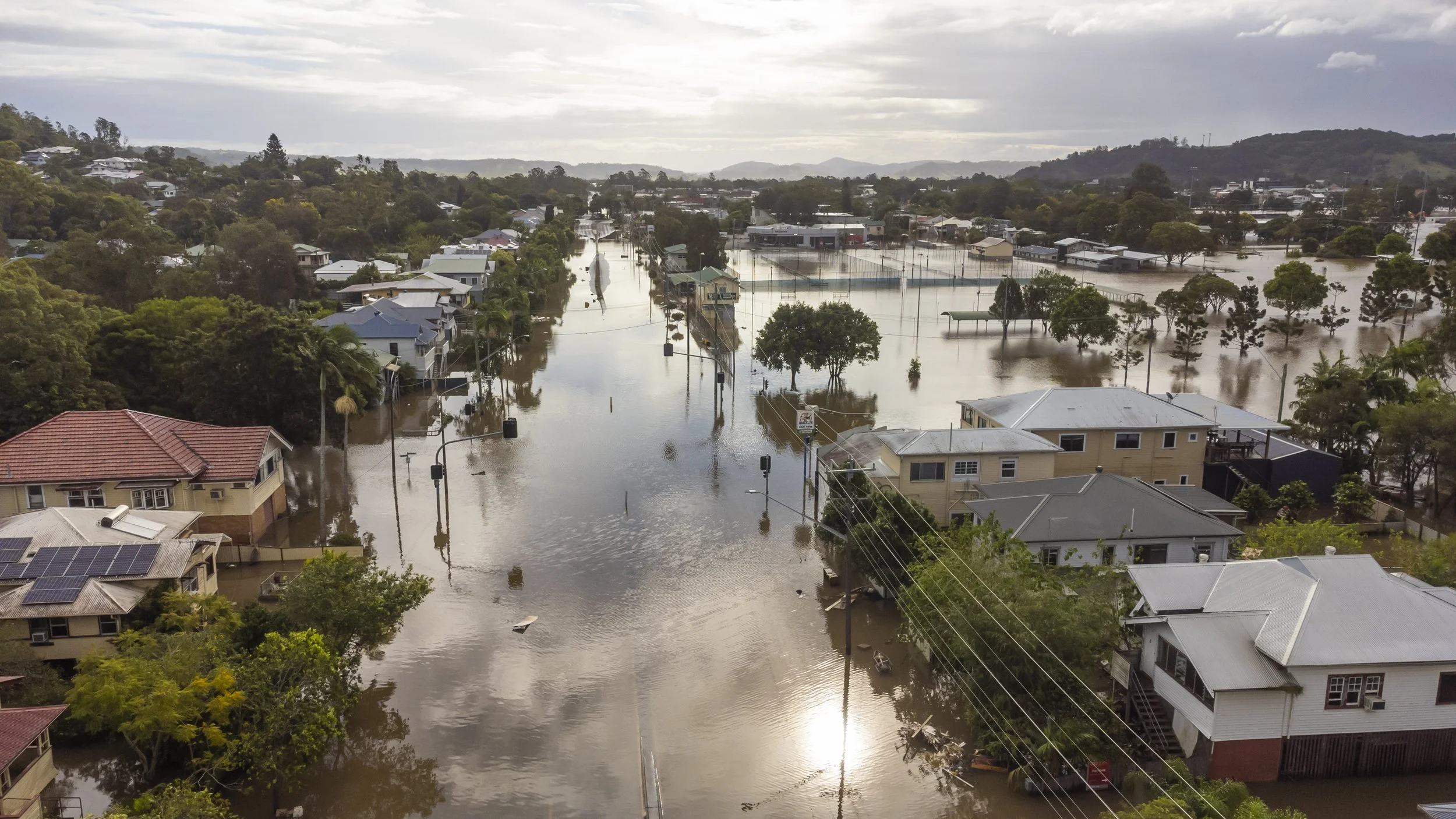
According to the Federal Emergency Management Administration (FEMA), a flood is defined as a temporary inundation of at least 2 acres or 2 or more properties of normally dry land area. Flooding can cause property damage, disrupt transportation, and cause loss of life in extreme circumstances.
FEMA RAPT Instructions: Open Tool > Agree to terms & conditions > In the search bar at the top, type address, zip code, city, or state > Click the Hazards button on the blue toolbar > Click the box next to Flood Hazard (zoom to activate) > Click the Legend button on the blue toolbar. You can now see if you are in a low, moderate, or high risk zone. Click on the map for more information.
This tool also contains a substantial number of map layers for population information as well as the location of infrastructure such as hospitals and fire stations. These can be turned on the same way as the flood hazard layer (instructions above) to help visualize which populations and infrastructure might be affected by flooding.
Tables are downloadable. In the layer panel on the right of the screen, click the 3 dots next to the layer, then > View in Attribute Table. A table will appear at the bottom of the screen. To download this table, click Options on the top left of this table, then > Export all to CSV.
The FEMA National Flood Hazard Viewer also shows maps of flood zones, but it does not have the layers that the RAPT tool has.
The FEMA Resilience & Analysis Planning Tool (RAPT) allows you to investigate flood risk in your community. This interactive map shows FEMA flood zones, categorized by different level of flood risk.
High flood risk: Areas with a 1% chance of flooding in a given year, also known as a a 100-year floodplain. These properties have a 26% chance of flooding at least once over the life of a 30‐year mortgage.
Labeled as Zones beginning with A.
Moderate flood risk: Areas with a 0.2% chance of flooding in a given year, also known as a 500-year floodplain.
Labeled as Zones B & X (shaded).
Low flood risk: Areas with less than a 0.2% chance of flooding in a given year.
Labeled as Zones C & X (unshaded).
In the Southeast, the Southern Environmental Law Center Changing Coast Tool can be used to view other important factors alongside FEMA flood zones. Categories can be viewed simultaneously. For example, you can investigate which development projects are in areas projected to be underwater in the future, or which Superfund sites are in danger of being inundated with water (which would risk spreading harmful chemicals).
Categories include:
Proposed development project locations
Wetlands
Rising sea and future marsh location projections
Superfund sites
Socially vulnerable communities
Storm surge hazard areas
Click here for the Changing Coast article on the importance of preserving wetlands, marsh, and natural water flows and the value of “building smarter.” This includes examples of proposed development projects in the Southeast that could exacerbate effects of sea level rise.
SELC Changing Coast Instructions: Open Tool > Use toolbar to control which layers are turned on. To visualize rising seas: the blue inundation that is shown under the 1-7 feet sea level rise scenarios represents the expected average level of the higher of the 2 daily high tides. These blue areas would not be constantly underwater, rather this is about where you would expect the higher of the 2 daily high tides to reach. For detailed projections, see NOAA—Sea Level Rise Viewer.
State & Local GIS Offices
GIS (Geographic Information Systems) refer to the computer programs that allow for digital mapping of place-based data. Your city or county’s website is a good place to start. If those do not have GIS offices or flooding information, try your state government’s website. Most state and local governments now have offices dedicated to mapping and analyzing place-based data in ways that can be useful to the public. Maps and data are often available on their websites. In communities located near water bodies, these often include maps or data about flooding, such as:
More detailed versions of flood maps
More detailed future sea-level rise projections (in coastal communities)
Current information about street closures due to flooding
Instructions: Go to city or county website. If you do not know the URL or web address, type “Name of City or County/Government” in your web browser search bar. It should be the first search result. There should be a navigation toolbar at the top or left side that allows you to see a list of departments. If there is not a “Geographic Information Systems” (GIS) department, it might be an office within “Information Technology” or something similar.
Additional Resources
FEMA National Risk Index: Expected annual loss in dollars from natural disasters by county